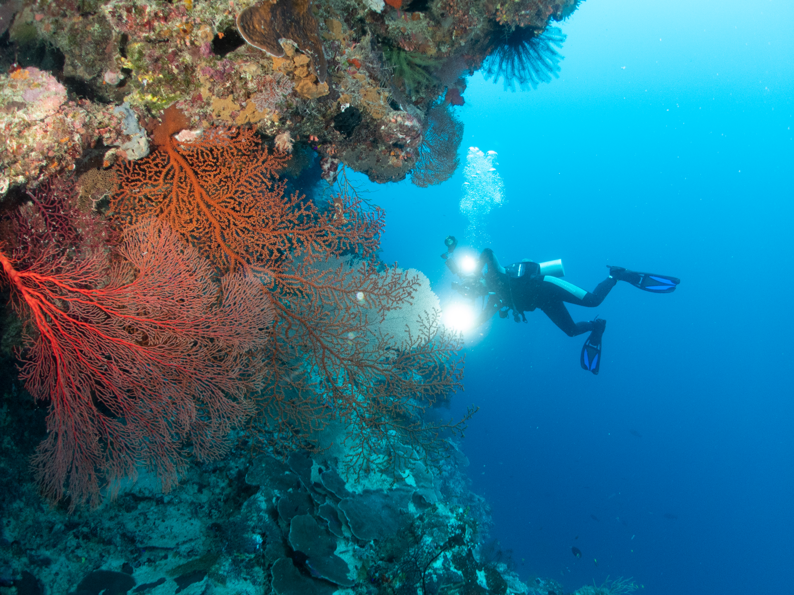
Babar Islands Regional Conservation Area (Kawasan Konservasi Daerah Kepulauan Babar) was officially designated in 2022, spanning an area of approximately 370,527 ha—making it one of the newest and largest marine protected areas in Maluku Province. Located between Wetar and Yamdena Islands, this area holds unmapped coral reef formations and unique underwater topography featuring vertical reef walls that characterize Babar’s geological character.
Details
|
Date Established |
Officially established by ministerial decree in 2022 |
|
Hectares |
370,527.09 hectares, including 4,528.20 hectares of no-take zones |
Zoning Map
Its ecosystems include coral reefs, seagrass beds, and coastal habitats across small islands like Ilmarang and Masela—providing vital support for marine biodiversity. Rare and protected species such as green turtles, manta rays, and various endemic coral species that serve as indicators of healthy ecosystems inhabit these waters.
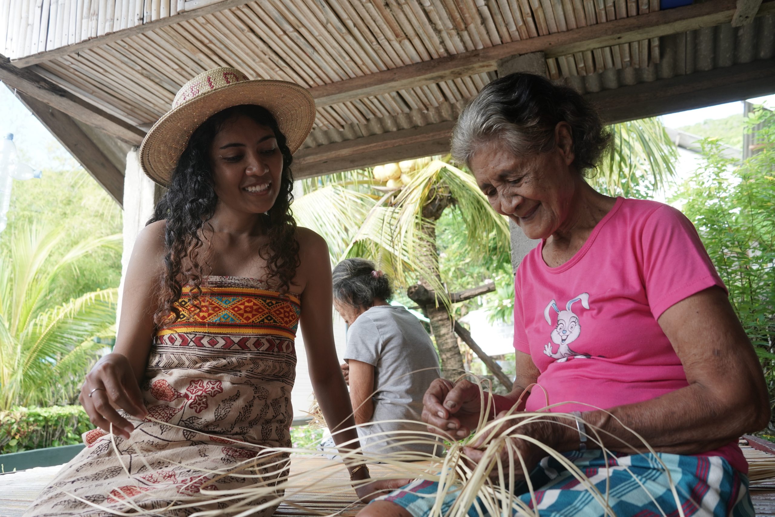
Since its designation, collaboration among the Maluku Government, WWF Indonesia, local communities, and regional authorities has focused on baseline mapping, area surveillance, and sustainable eco-tourism development. A standout initiative is the training program for local dive guides serving liveaboards, helping to establish remote villages like Ilmarang as community-based tourism destinations.
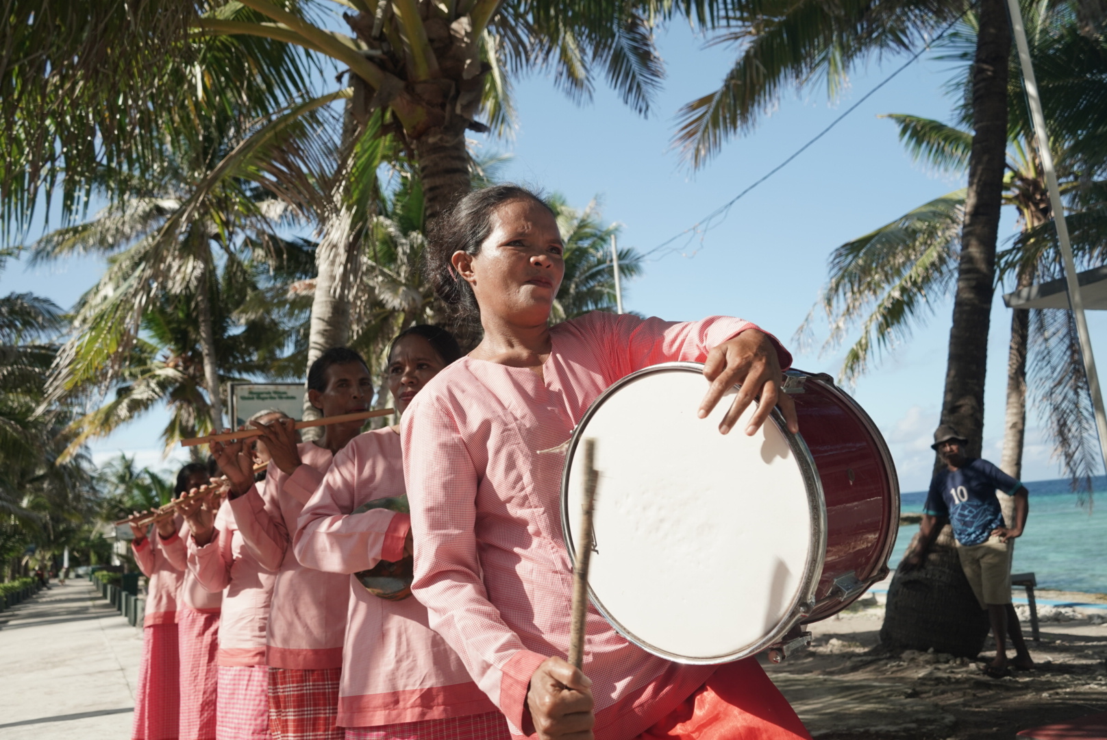
Culturally, the Babar Islands also preserve historical remnants from the Dutch and Japanese colonial eras—especially in the traditional architecture of Welora Village—adding educational value for visitors.
Early management efforts have yielded a decline in destructive practices and increased local income through homestays, dive guiding, and sustainable fisheries. Today, Babar Islands Regional Conservation Area stands as an example of synergy between biodiversity conservation, eco-tourism development, and the preservation of local cultural heritage.