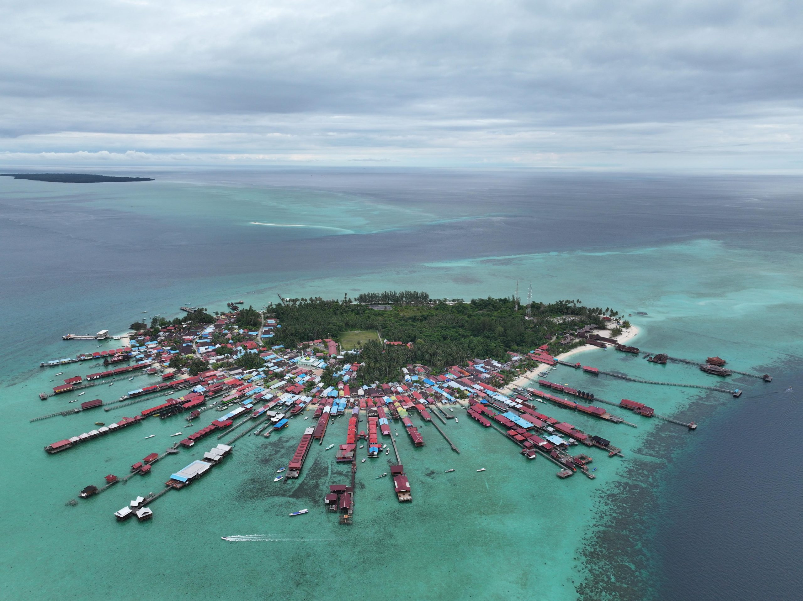
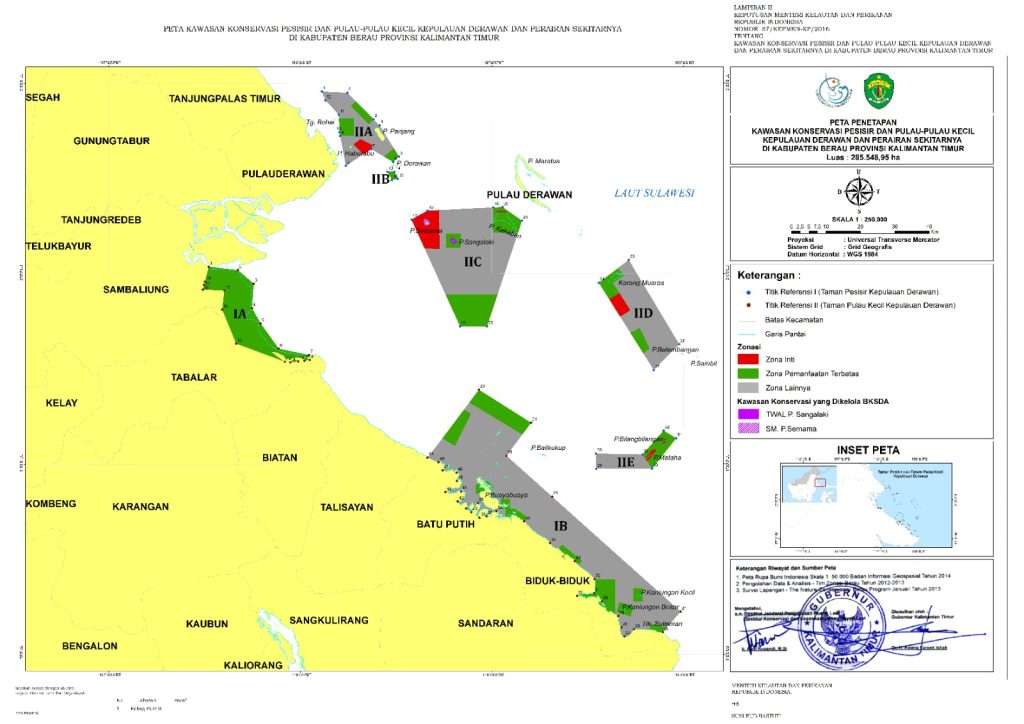
The Derawan Islands Marine Conservation Area (officially, Kawasan Konservasi Perairan dan Pulau-Pulau Kecil Kepulauan Derawan dan Sekitarnya; KKP3K-KDPS) was established in 2016, covering around 285,550 hectares. Located in Berau District, East Kalimantan, the Derawan Islands sit at the intersection of the Sulawesi and Java Seas and are influenced by the Indonesian Throughflow, deep-sea upwellings, and river outflows.
Details
|
Date Established |
Officially established by ministerial decree in 2016 |
|
Hectares |
285,548.95 hectares, including approx. 9,709 hectares of no-take zones |
Zoning Map
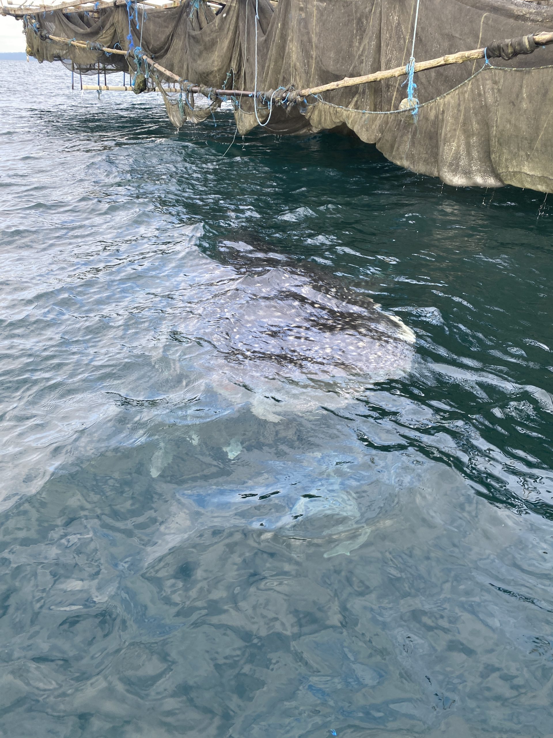
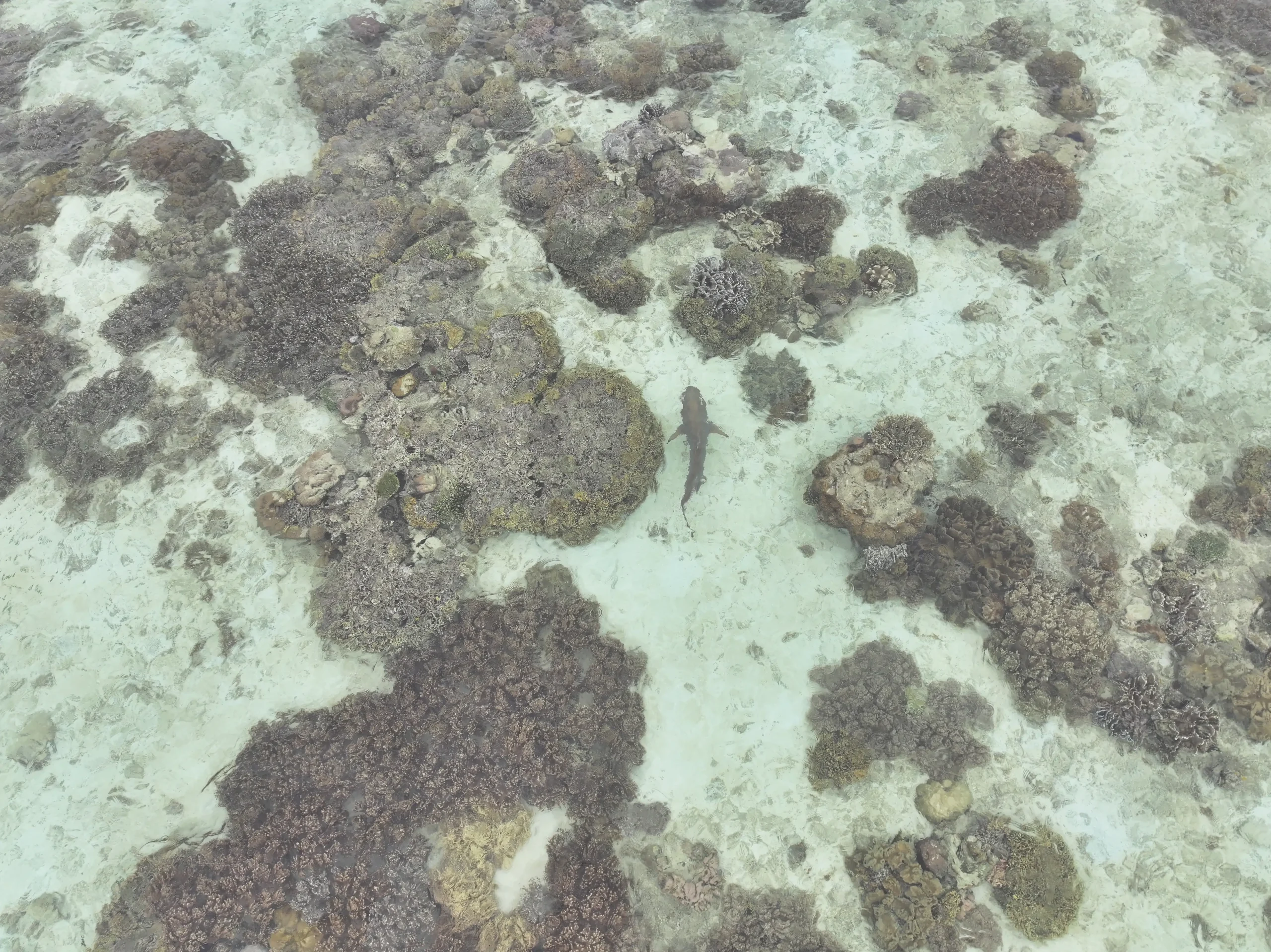
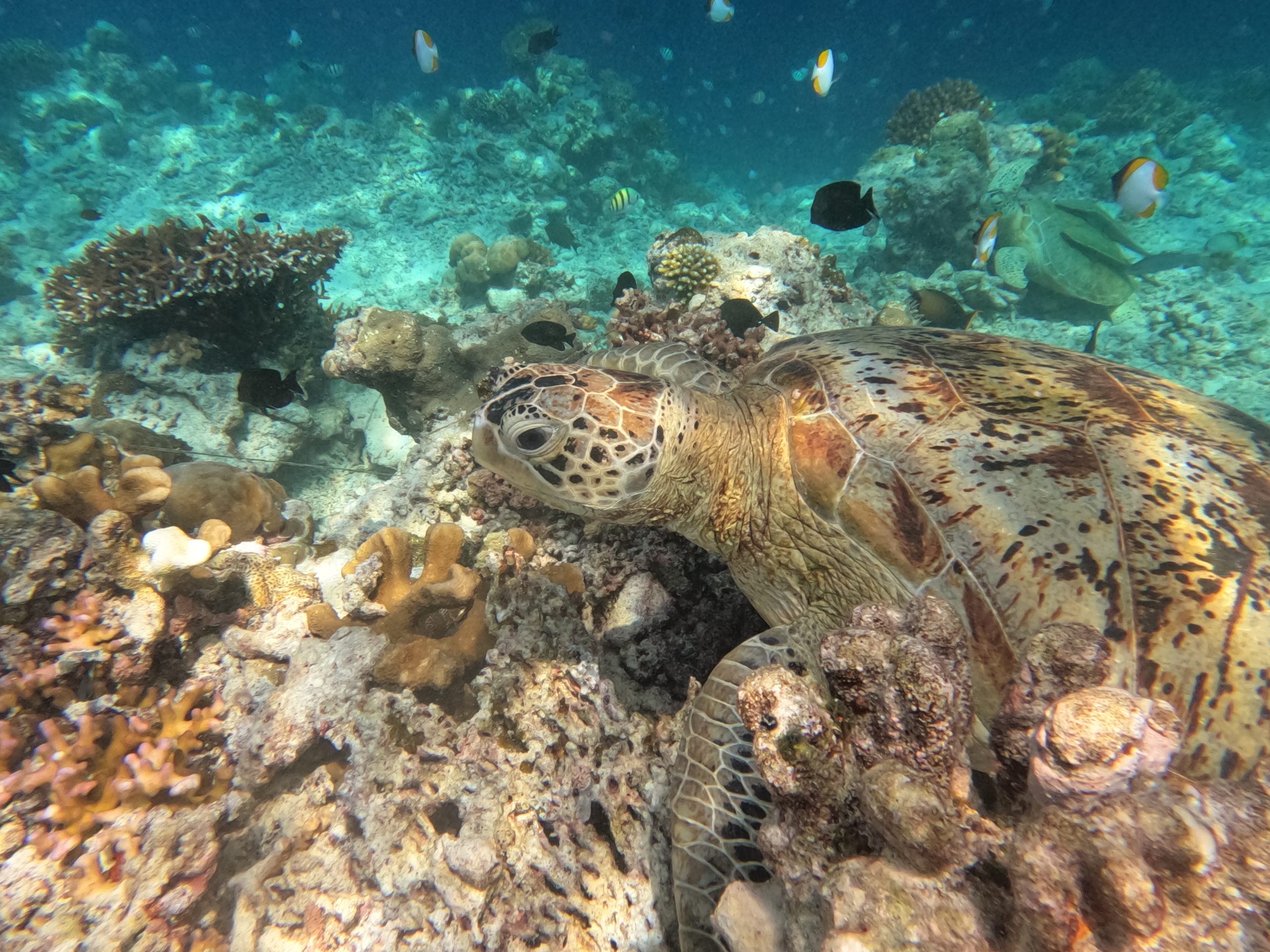
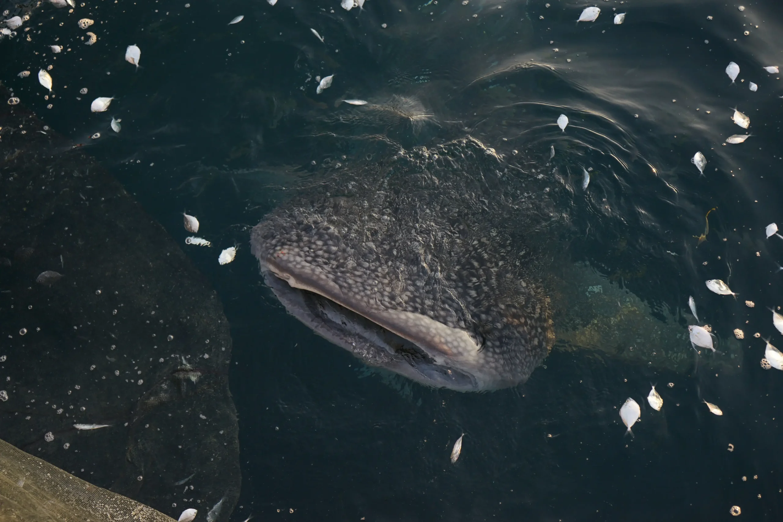
This dynamic setting supports a rich mix of ecosystems—mangroves, seagrass beds, coral reefs, pelagic waters, and marine lakes—contributing to exceptionally high biodiversity. The area hosts the second-highest coral diversity in the world, after Raja Ampat, with over 500 hard coral species and about 872 reef fish species, as well as green turtles, whale sharks, manta rays, and at least eight species of whales and dolphins. A saltwater lake on Kakaban Island is home to several endemic species of stingless jellyfish.
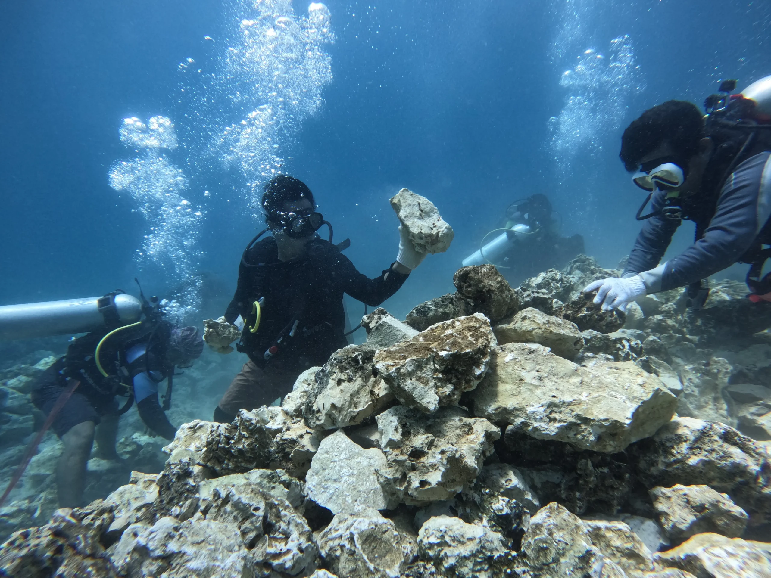
Culturally, the Derawan Islands’ local communities play a major role: fishers and dive guides actively engage in conservation, making the marine ecosystem both a livelihood source and a conservation priority. Traditional practices like egg harvesting have shifted toward turtle habitat monitoring, creating harmony between heritage and the future of Derawan’s marine ecosystem.
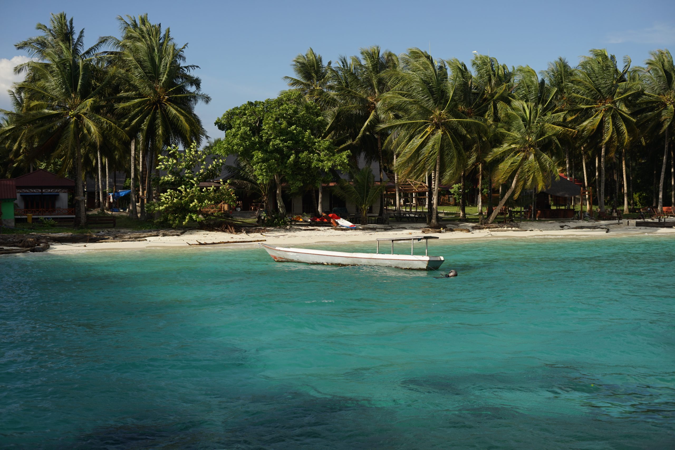
The Beauty of Derawan Islands and Surrounding Waters MPA